Stand In The Door 1944
"Silk" Escape Map- Western Pacific
"Silk" Escape Map- Western Pacific
Couldn't load pickup availability
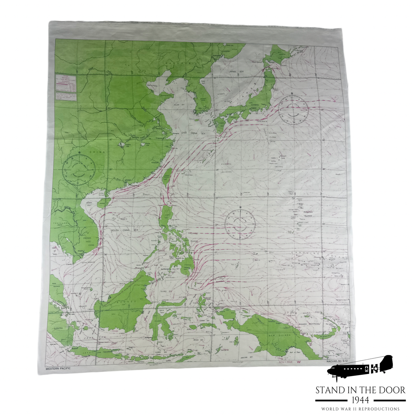
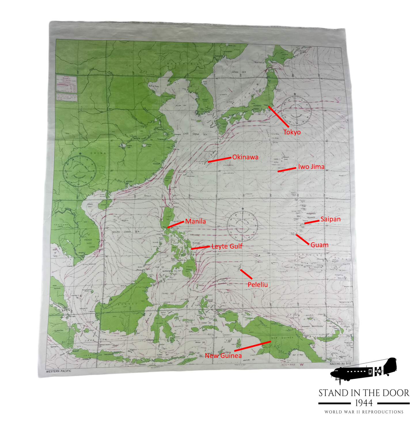
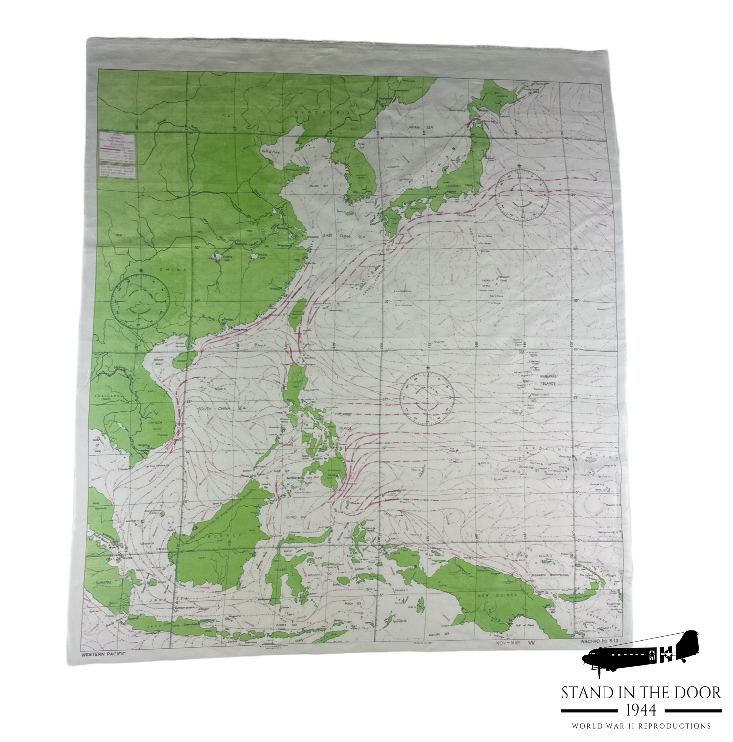
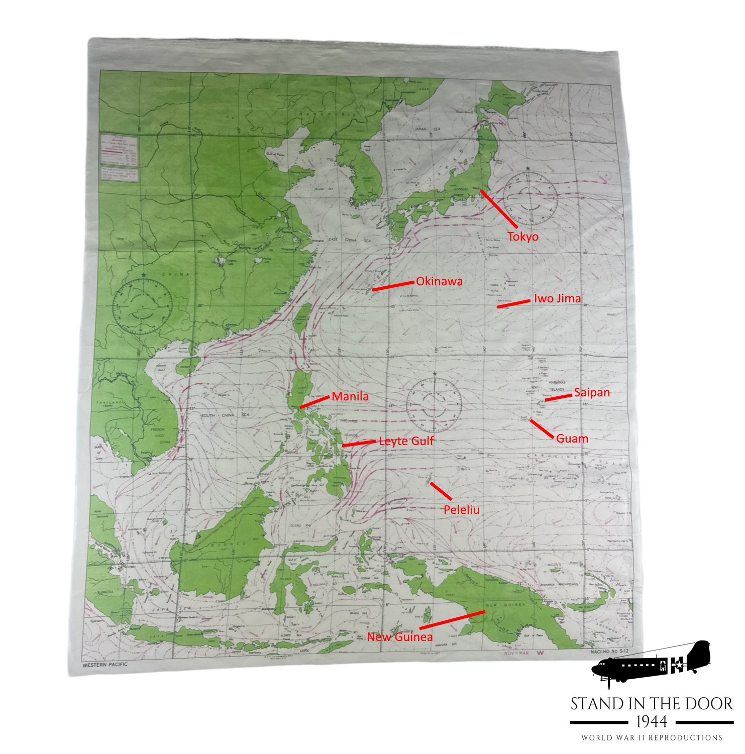
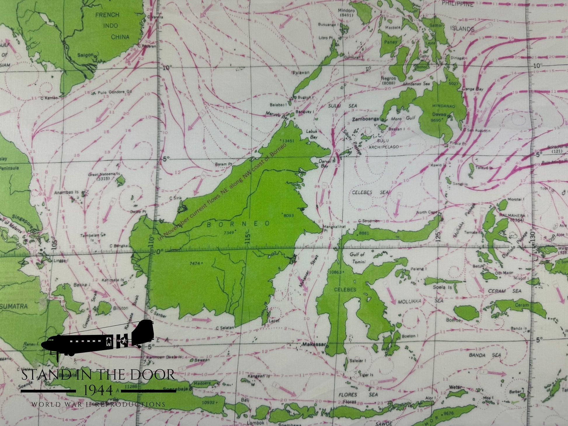
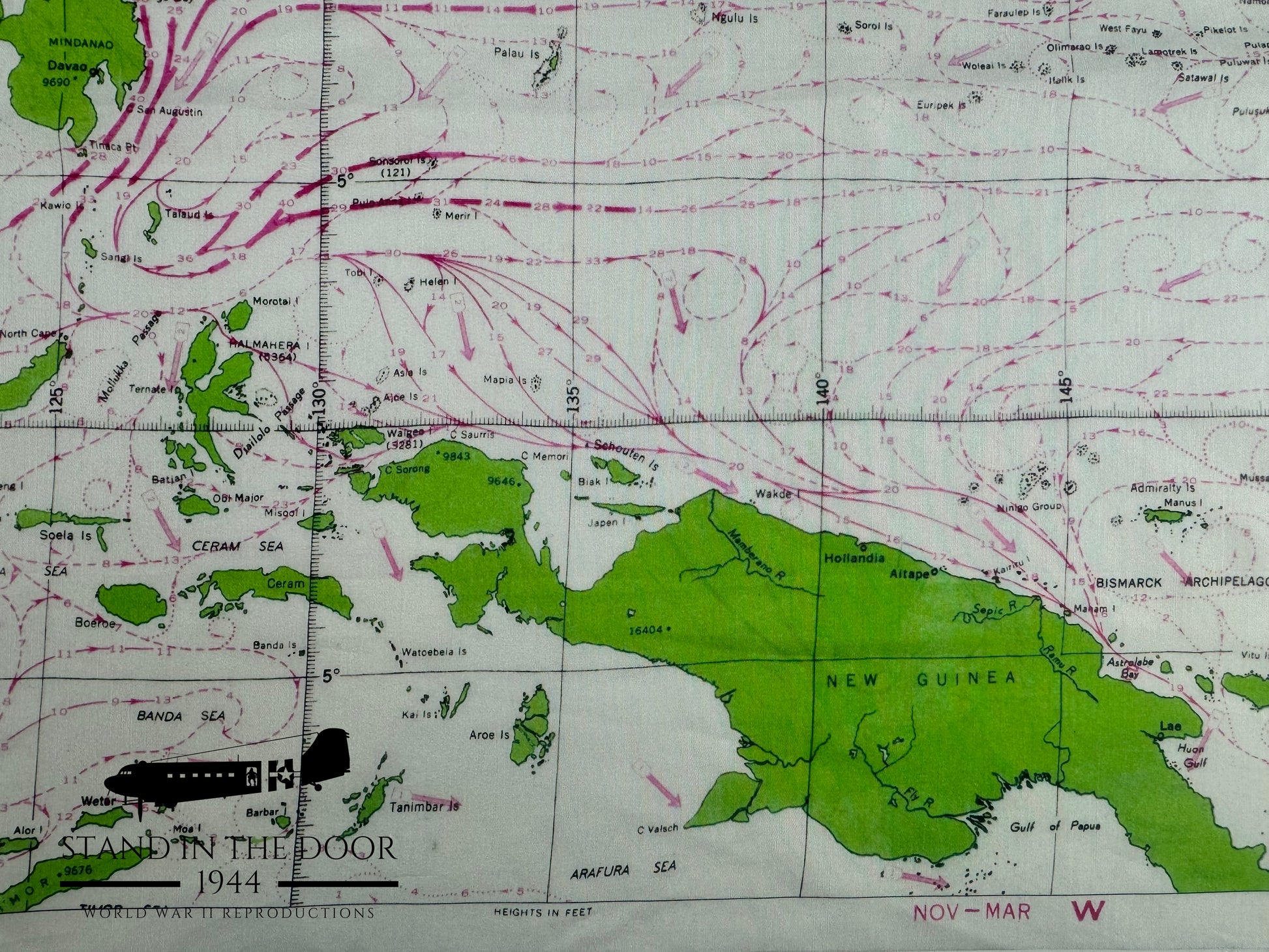
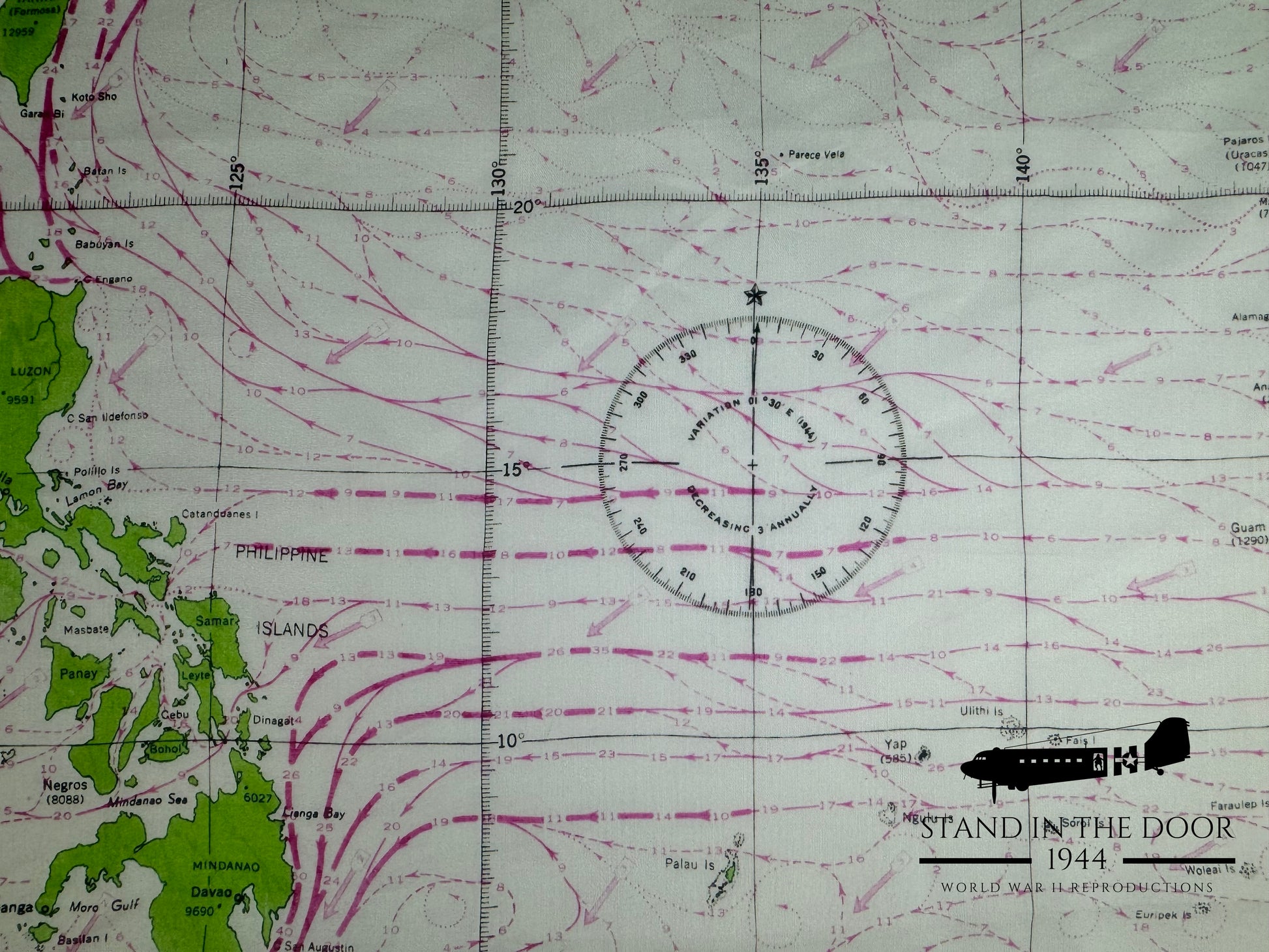
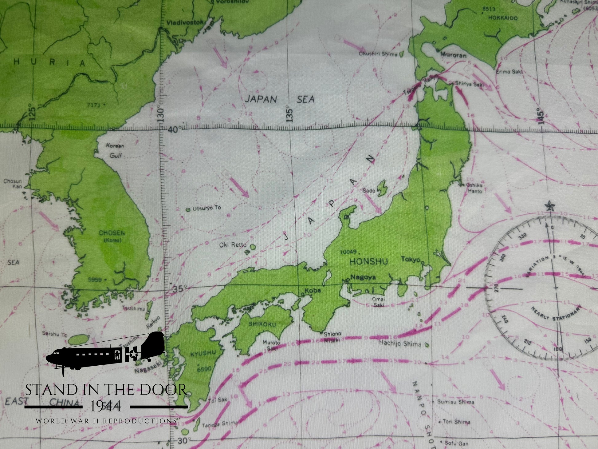
These are museum quality reproductions of the WW2 Western Pacific escape/evasion map issued to aircrews flying missions in the PTO during WW2. These maps were issued in escape kits along with a small compass and hacksaw blade (see my other listings) that service men could use in escape and evasion senecios.
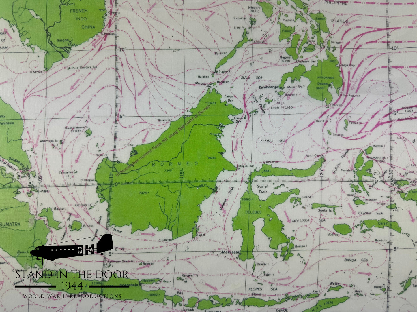
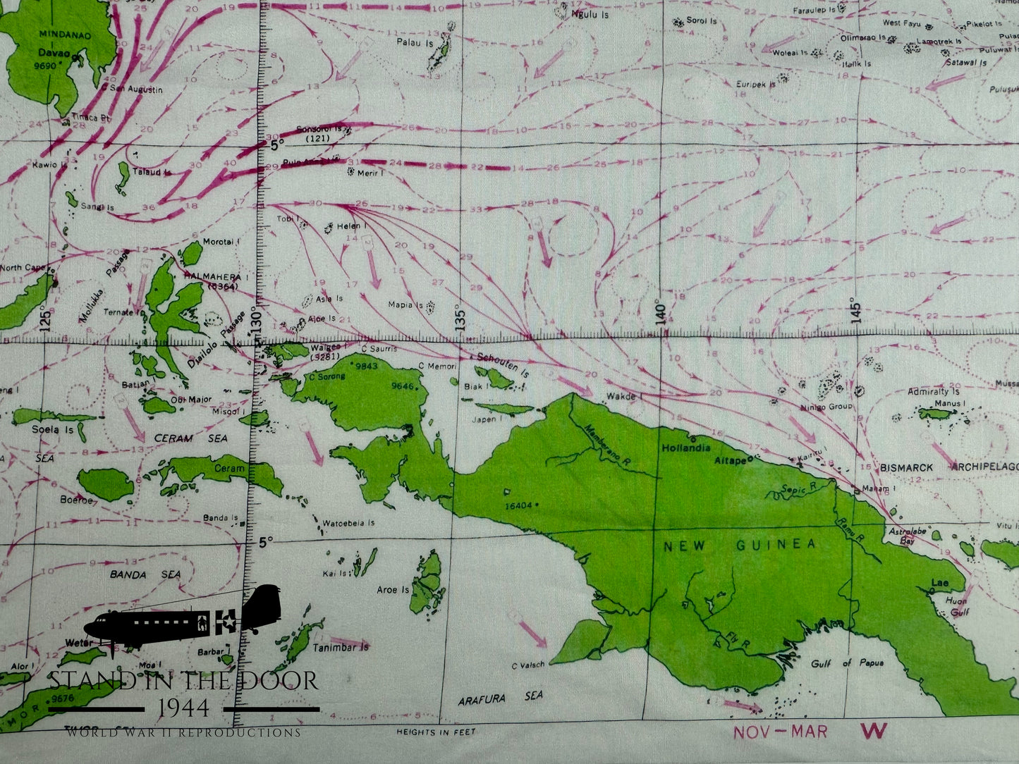
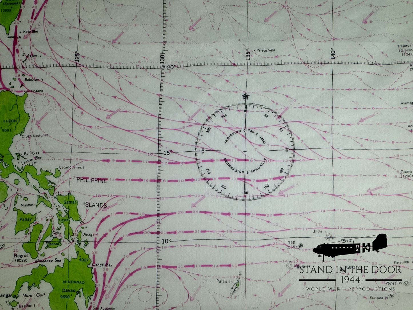
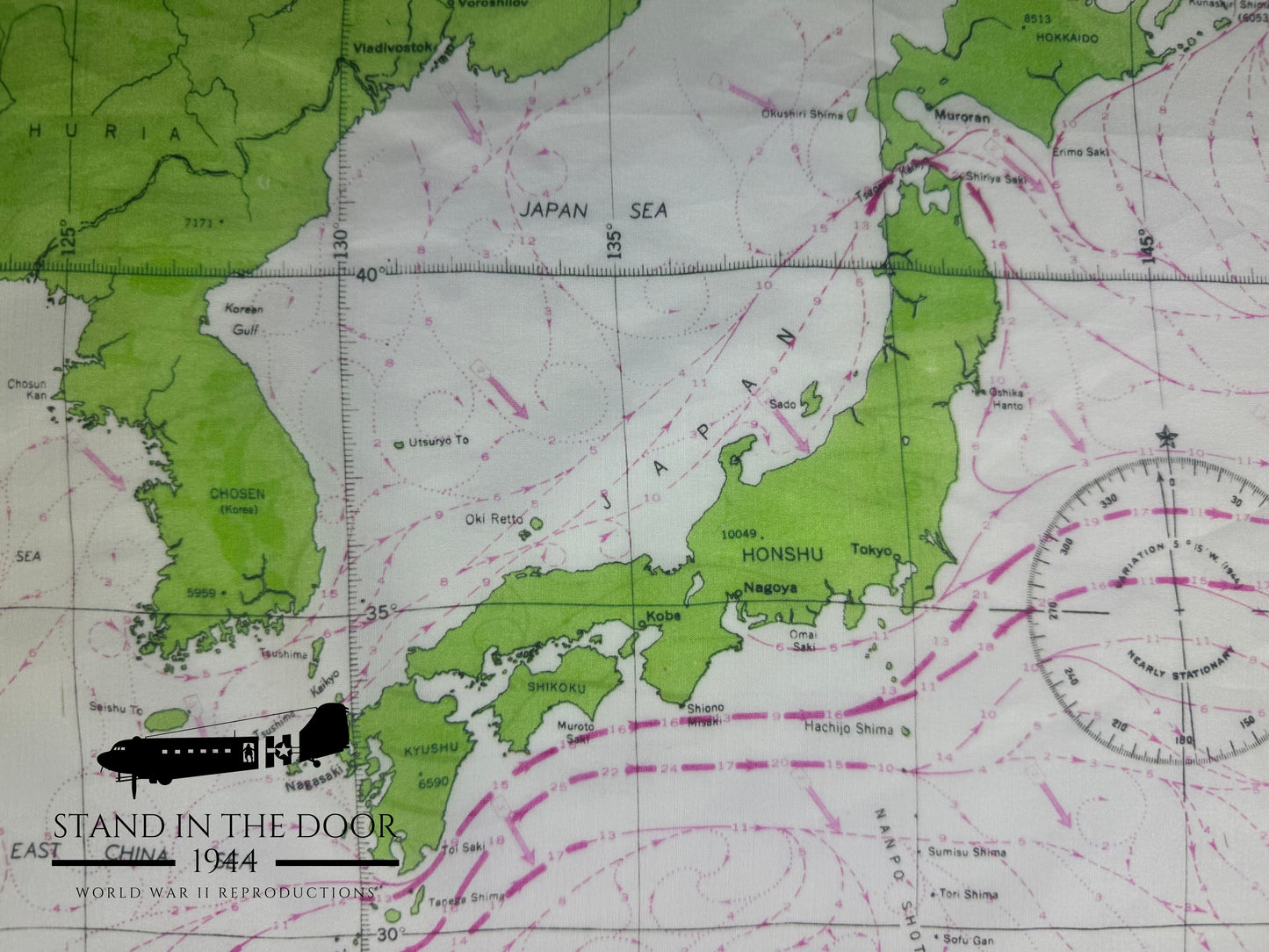
An interesting detail of these Western Pacific Escape maps compared to other escape maps of WWII is the vast amounts of ocean seen throughout the map. Beings that aircrews were more likely to go down in the ocean rather than on land the war department went to great lengths to chart the ocean currents to give servicemen the best opportunity to survive.
We used the manufacturing knowledge gained from creating our other escape maps to create the best possible reproduction of this piece of American history. Printed on a cotton/silk blend fabric which makes them very soft and comfortable while at the same time maintaining great detail.
Original Western Pacific maps were printed on both sides and showed the exact same geographic location. The only difference between the two sides was side "A" showed the currents between November and March and side "B" show currents from May to September. For our reproductions printing on both sides would risk the colors of one side bleeding into the other so we decided to only print the November-March side of the map.
These make great display or practical use pieces at a fraction of the cost of an original map and if you tie it as a scarf around your neck it is indistinguishable from an original.
HISTORICAL CONTEXT:
The Western Pacific map was designed as an "escape map" meaning that it was printed on a rather small bit of fabric which could be hidden easily on the body when captured as well as it was printed in an exceptionally large scale. That being the case the map was not very useful for traditional military land navigation in addition much of the smaller print is difficult to read even under a magnifying glass due to its large scale as well being printed on the porous surface of fabric instead of the smooth surface of paper. Rather it was used primarily to determine a person's general geographic location so they could plan a route to less hostile areas or areas where they were more likely to be rescued.
DIMENSIONS:
Each map is approximately 24" wide x26" tall.
MATERIALS:
These reproductions have an "unfinished" edge like most originals which means that the edges can fray with use. (Note: If you would like to prevent the edges of your map from fraying simply fold the edges and sew them down or you can use an iron on adhesive)
QUANTITY:
This listing is for 1 reproduction map.
INTERNATIONAL BUYERS:
Special note for international buyers (buyers outside the US): international shipping costs cover the postage for the order but maybe subject to customs fees unique to your country. Seller is not responsible for any additional postage or customs fees.
SPECIAL NOTE:
Special note to those who own original Western Pacific maps. This map, while at the same scale of an original, is cropped slightly to show the main area of operations for the war in the Pacific in WWII (Tarawa and Guadalcanal are not featured on this map). If you would like further detailed pictures prior to ordering, don't hesitate to message me.
