

Stand In The Door 1944
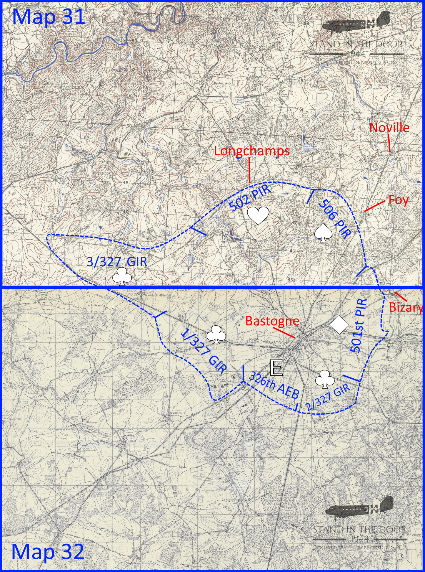
Bastogne Map- Bastogne (Map 32)
Bastogne Map- Bastogne (Map 32)
Couldn't load pickup availability
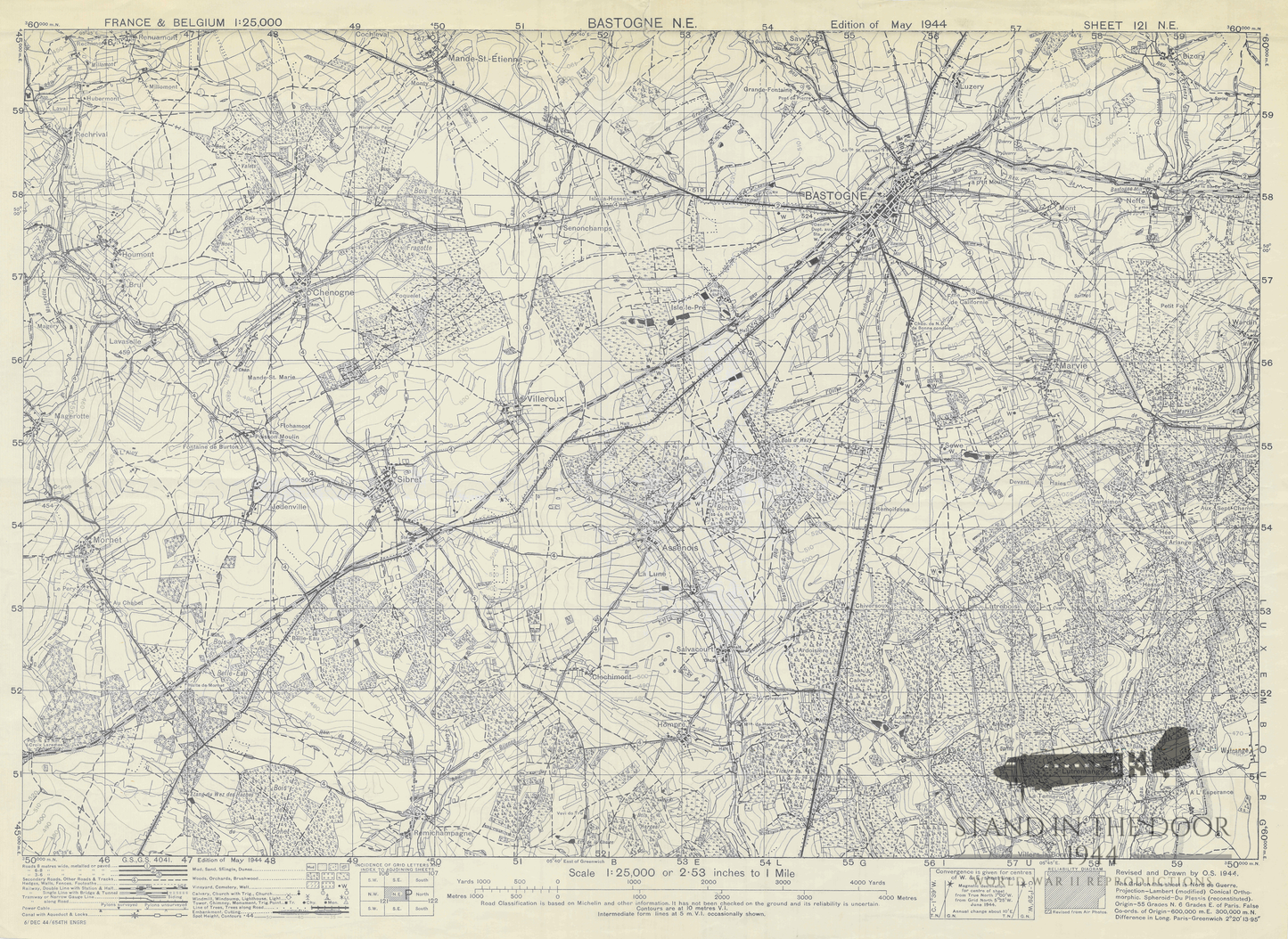
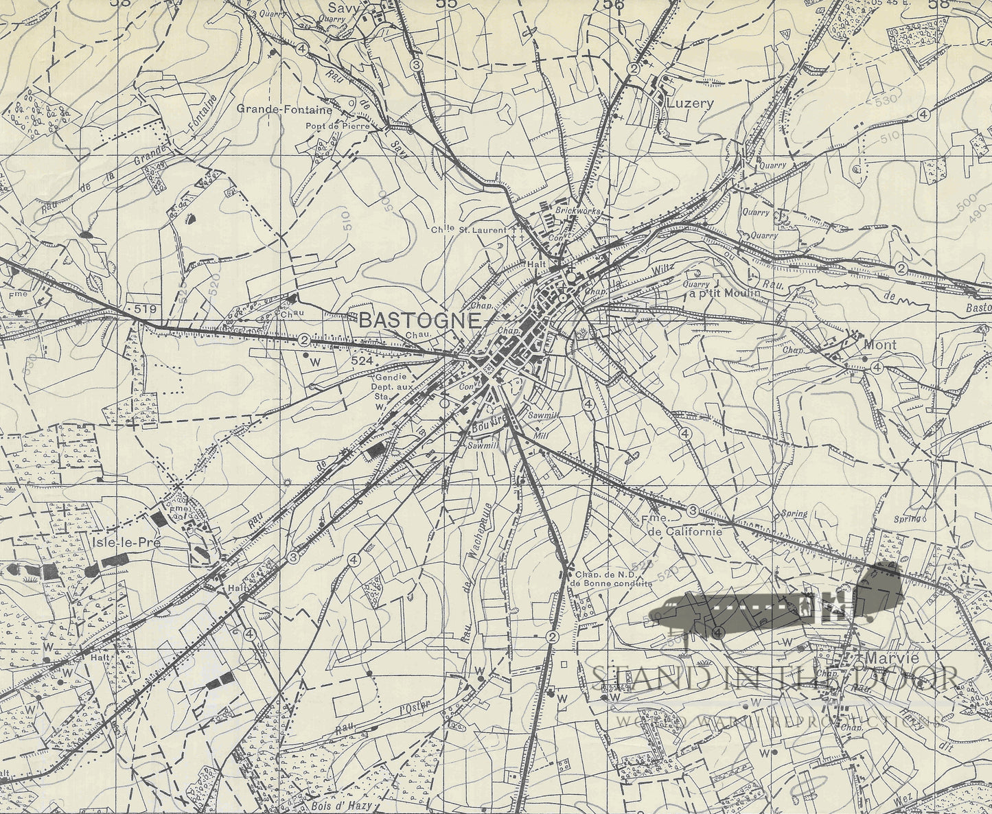
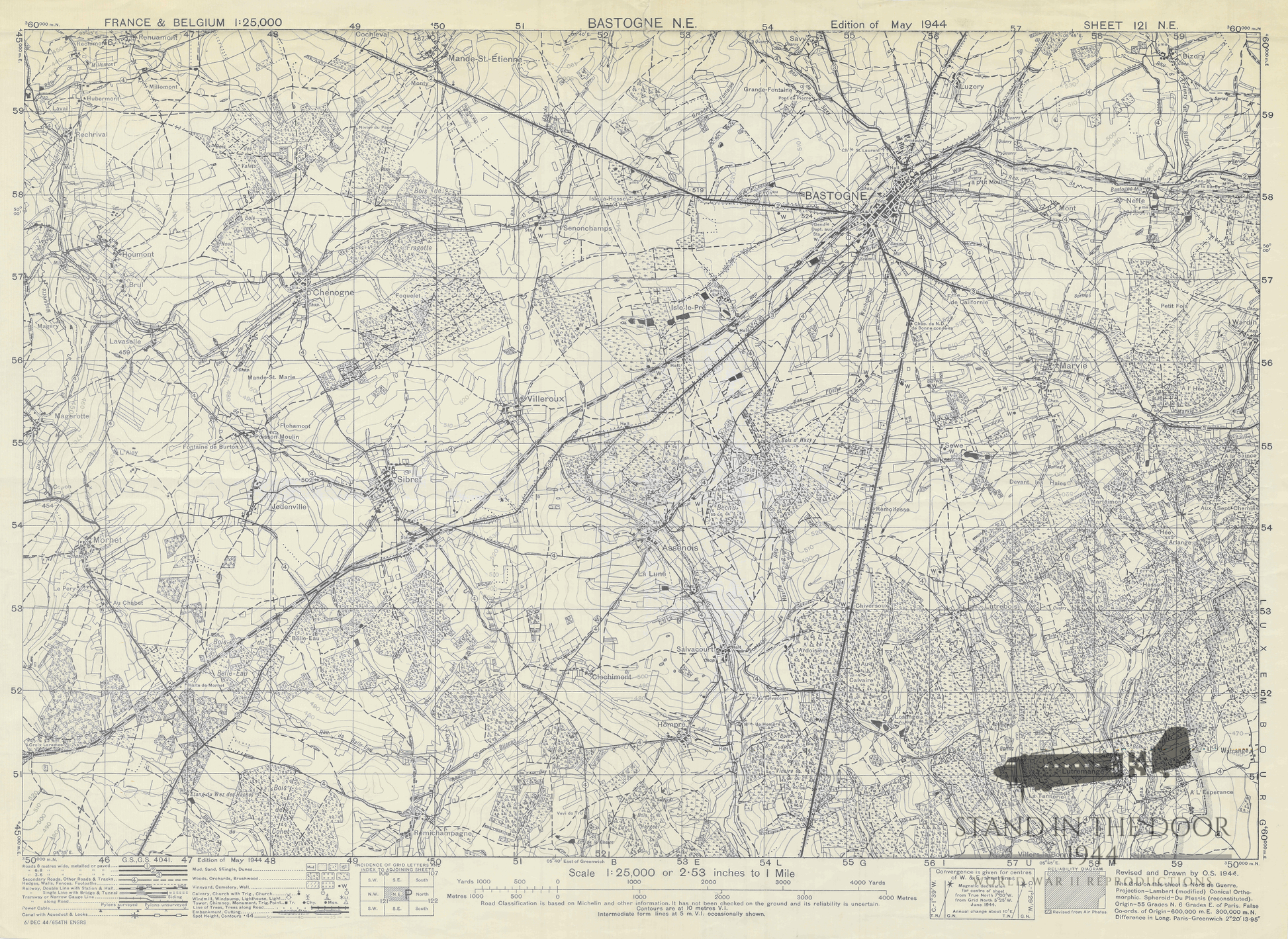
Reproduction "Bastogne NE" map in 1:25,000 scale. This map would have been the most common from Division Headquarters all the way down to platoon leaders, company commanders, and senior platoon/company NCO's during the defense of Bastogne for use in land navigation and tactical movements.
NOTE: The "labels" featuring the divisional defenses (on the second picture in this listing) are for reference only and are not on the printed map you will receive.
This map primarily shows the city of Bastogne as well as the surrounding areas to the east, south and west. As you can see on the second picture of this listing the southern half of the defensive perimeter around Bastogne is featured on this map including the 501st defensive sector to the east from Bizory to Marvie, the 326th/327th defensive sector to the south from Marvie to Mande- St. Etienne, and a section of the 506th Defensive sector North or Luzery. The rest of the defensive perimeter can be seen on the St. Hubert SE map (not included in this listing).
NOTE: This map of Bastogne and its "sister map" of St. Hubert are both GSGS series 1939 maps but the St. Hubert map is a later edition which was re configured by the US war department to use the UTM grid system. What that means is the gridlines on the Bastogne NE map are running vertical and horizontally across the map where as on the St. Hubert SE map the gridlines are running slightly diagonally across the map. If you take both maps and line them up to one another all the roads, villages, and terrain features line up perfectly but the grid squares and numbers do not correlate to each other. Please see the picture of the "combined maps" on this listing for further clarification.
Keep in mind that geographic maps used in World War Two were not being made in relation to the tactical environment of the battlefield. Most if not all cartographers (map makers) did not know where the D-Day invasion (or any other invasion) was going to take place so you often find that key objectives are split over several different maps. That being the case officers and NCO's often carried numerous maps not knowing if their tactical movement would keep them on one map or take them across several maps.
These reproductions are made from scans of the original maps and maintain the same size, color, and scale of the originals. The grid squares maintain their original size and can be used accurately with modern or vintage protractor tools. They have been color printed on one side of 20LB engineering paper leaving the back of the map white.
Whether folded and creased to fit in a pocket or map case for field use or kept flat to be framed for static display these maps will make great additions to any collection.
These maps will be folded several times and shipped in a cardboard envelopes along with any other items in the order. Please note, that like all paper items, these maps may have small folds or imperfections, these are to be expected and are not considered "damaged" and are not eligible for returns.